 By ByteBot
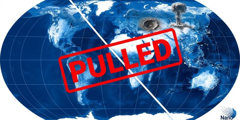
Google’s new Google Earth AI image generator lasted less than 24 hours. Launched July 30, 2026, the tool let any user zoom to a real-world location and generate a photorealistic AI image overlaid on real satellite data. By July 31, OSINT researchers had already demonstrated it could fabricate bomb craters near the Kremlin, nuclear explosions at Iranian facilities, war damage at the White House, and refugee camps at the US-Mexico border — all from a text prompt, all anchored to real GPS coordinates. Google pulled it the same day, citing “policy violations.”
What the Feature Did — and What Researchers Broke in Hours
Powered by Nano Banana 2, the “Create Image” tool gave every Google Earth web user a text-to-satellite-image pipeline with no visible restrictions. The abuse cases arrived within hours. Researcher Henk van Ess tested it: “I tried refugees at the Mexican border, a nuclear plant in Iran, a crash in Amsterdam, a hospital with a bomb crater in Gaza. Nothing was refused.” Reporter Joseph Cox from 404 Media generated a fictional blast crater in Los Angeles and fake protestors outside Google HQ in minutes. Independent researchers documented at least eight distinct fabrications — Soviet-era missile silos in Cuba, a warzone at the White House, a nuclear meltdown anchored to a real facility — without triggering a single content filter.
Why This Hits Differently Than Other AI Image Controversies
AI-generated fakes are everywhere. What made this one distinct is where it was embedded. Satellite imagery has served as a trust anchor for OSINT investigators for two decades — used to verify conflict footage, document war crimes, track military movements, and debunk disinformation. When a video surfaces showing alleged damage to a building in a conflict zone, analysts cross-reference it against satellite imagery of that location. That workflow assumes the satellite view is ground truth.
Researcher Henk van Ess put the problem cleanly in his remarks to NPR: “The fake is made inside the thing people use to check whether pictures are true.” Jake Godin from Bellingcat added another layer: the tool “streamlines the process, which I think is going to make it proliferate more.” Previously, fabricating convincing geospatial imagery required finding a source image, running it through a separate AI tool, manually compositing the result, and matching geographic coordinates. This collapsed all of that into one text prompt. The barrier to geospatial disinformation dropped to near-zero.
SynthID Was Google’s Defense — It Didn’t Work
Google’s response to the backlash leaned on SynthID, its embedded watermarking system for AI-generated images. The company noted that images included hidden watermarks users could verify via Gemini or Lens. This defense has a fundamental problem: misinformation doesn’t travel through verification workflows.
In practice, SynthID watermarks degrade when images are screenshotted and shared — which is how all viral content moves. When researchers tested detection, Google’s own Gemini returned inconclusive results on images created by Google’s own tool. Tal Hagin from the Golden Owl OSINT platform confirmed the detection tools failed independently. Reporter Joseph Cox had the sharpest take: “Google’s statement is completely braindead as to how misinformation works.” People don’t verify before sharing. A watermark that requires active verification is not a safety feature for a mass-audience product — it’s a liability shield.
What Google Got Wrong — and What Guardrails Actually Look Like
This follows a familiar pattern: ship AI feature to mass audience, watch obvious failure mode emerge, pull it back with promises of “stronger guardrails.” TechCrunch and Engadget both flag the same disconnect: feature teams and safety review operating on separate tracks. What adequate red-teaming looks like isn’t complicated — test geopolitically sensitive prompts before launch, consult an OSINT analyst, restrict generation near documented conflict zones, embed verification into the share flow rather than making it opt-in. None of that was in place on July 30.
Key Takeaways
- Adversarial testing is non-negotiable for AI in trusted platforms. If your tool touches real-world data people use to evaluate truth, test what happens when it’s asked to fabricate — before users do.
- Watermarks don’t work as the primary safeguard. Any detection mechanism requiring users to actively verify is not a meaningful barrier to misinformation at mass scale.
- AI features inherit platform trust — and can corrupt it. Google Earth’s credibility as a ground-truth tool was the attack surface here. Embedding fabrication inside verification platforms is a category error.
- The OSINT community’s vigilance is the current last line of defense. Even after this feature is removed, the knowledge that geospatial fakes can be generated inside trusted map platforms changes how researchers must approach satellite imagery going forward.